From frigid temperatures in the west to heavy snow in the east, parts of Canada are seeing the full force of winter.

Orange alert cold warnings remain in effect through eastern Saskatchewan and southern Manitoba, with wind chills expected to get down to -40 C.
Residents of cities including Regina, Saskatoon and Winnipeg woke up Sunday morning to sunny skies and temperatures of -35 C, with wind chills of -42 C.
Since then, cold warnings dropped for much of Saskatchewan, but some communities in eastern Saskatchewan and southern Manitoba could still see temperatures reach as low as -50 C.
People are urged to dress warmly and in layers that can be removed if they get too warm. Officials also advise covering up to avoid frostbite, which can develop within minutes on exposed skin.
Story continues below advertisementDrivers, meanwhile, are advised to keep emergency supplies in their vehicles, such as extra blankets and jumper cables.
The Prairies aren’t the only region facing extreme cold, Ontario and Quebec are freezing as well.
 2:08
Polar vortex expected to drag into next week for Montrealers
2:08
Polar vortex expected to drag into next week for Montrealers
Some parts of western and central Ontario are facing cold warnings with temperatures expected to go as low as -40 C.

Get breaking National news
For news impacting Canada and around the world, sign up for breaking news alerts delivered directly to you when they happen. Sign up for breaking National newsletter Sign Up By providing your email address, you have read and agree to Global News' Terms and Conditions and Privacy Policy.In northeastern communities along the lower St. Lawrence, such as Sept-Iles, Port-Cartier, Blanc-Sablon and Fermont, yellow alert cold warnings forecast wind chills hitting between -30 and -40.
Extreme cold is not the only issue, however.
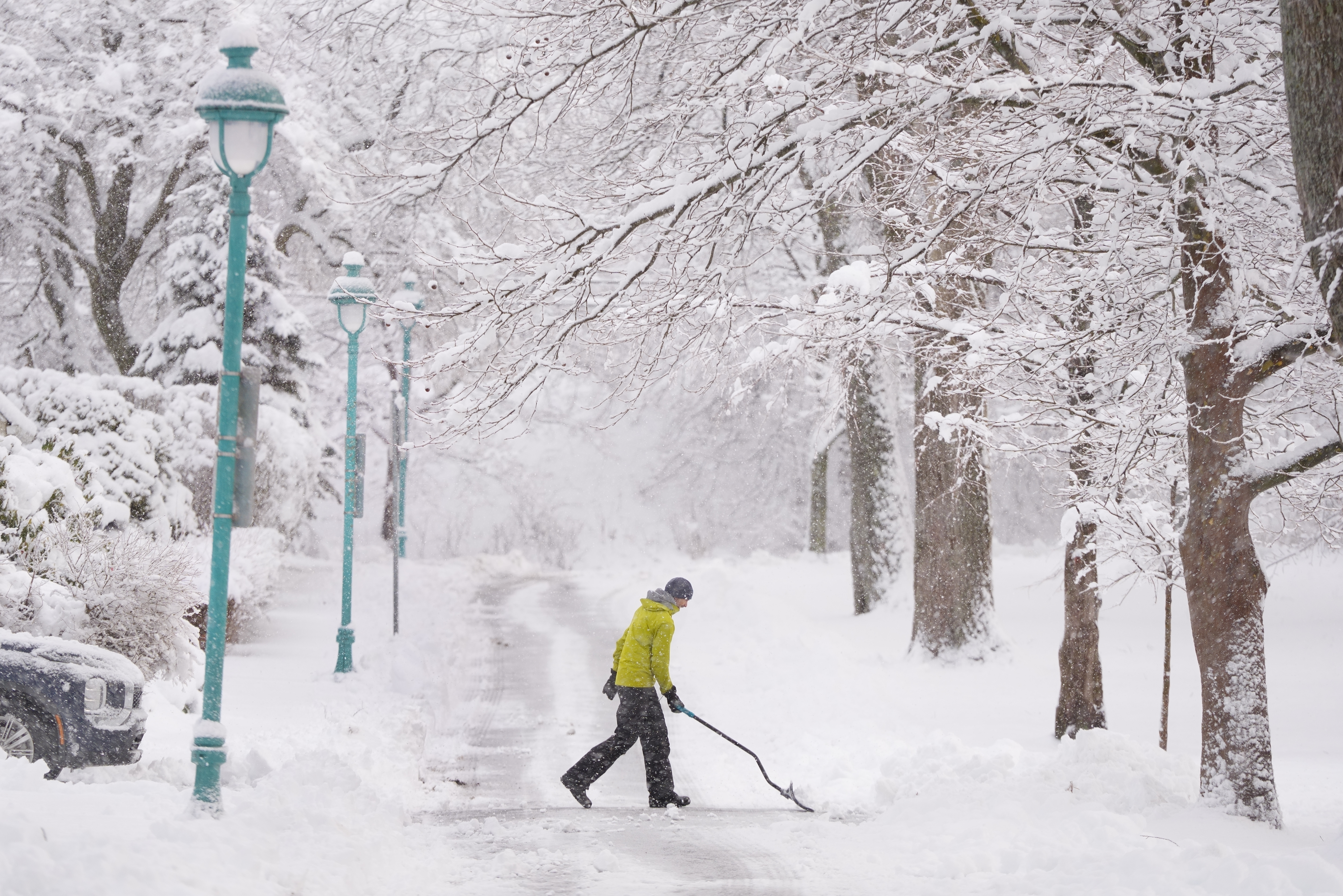
Yellow alert snowfall and winter storm warnings are in effect for southern parts of Quebec and all of the Maritimes.
Story continues below advertisementMontreal, Laval and the Brome-Missisquoi area are among those expected to see 15 to 20 centimetres between Sunday morning and Monday evening. A snowfall rate of one to two centimetres per hour is expected.
A special weather statement warning of 10 cm of blowing snow near the St. Lawrence River is also in effect in the areas of Quebec City, the Beauce, Lower Laurentians and Bois-Francs.
Trending Now-
![]() China’s envoy says Beijing, Ottawa ‘eye to eye’ on supporting Greenland
China’s envoy says Beijing, Ottawa ‘eye to eye’ on supporting Greenland
-
![]() Dingoes found circling B.C. teen to be culled, Australia says
Dingoes found circling B.C. teen to be culled, Australia says
 China’s envoy says Beijing, Ottawa ‘eye to eye’ on supporting Greenland
 Dingoes found circling B.C. teen to be culled, Australia says
 5:42
Massive winter snowstorm across North America prompts many to play outside
5:42
Massive winter snowstorm across North America prompts many to play outside
Much of central and northern Nova Scotia, including Cape Breton, are facing 25 to 35 cm under a yellow alert snowfall warning that also forecasts wind gusts of 50 to 70 km/h.
Southwest Nova Scotia faces similar snowfall amounts but also is under a winter storm warning with maximum wind gusts of 60 to 80 km/h expected.
Throughout the province, the heaviest snow is expected to begin Sunday night into Monday morning.
Story continues below advertisementNew Brunswick, meanwhile, is expecting a long period of snowfall in several parts of the province starting Sunday evening.
A yellow alert snowfall warning has also been issued for cities including Moncton, St. John and Fredericton, forecasting 20 to 30 cm between Sunday and Tuesday morning.
People are advised to stay in if they can. Those who must travel are asked to be careful and take it slow as blowing snow could reduce visibility to almost zero.
More on Canada More videos- 3 in 10 Albertans would vote for independence — but only half committed to separating: poll
- China’s envoy says Beijing, Ottawa ‘eye to eye’ on supporting Greenland
- Pimicikamak Cree Nation to evacuate 79 more homes after military assessment
- Intense cold forces flight delays, cancellations at Canadian airports
-
![]() Extreme cold weather warnings issued across Canada
Extreme cold weather warnings issued across Canada
-
![]() Global News at 6 Montreal: Jan. 24
Global News at 6 Montreal: Jan. 24
-
![]() Global News at 6 Toronto: Jan. 24, 2026
Global News at 6 Toronto: Jan. 24, 2026
-
![]() Maritimers endure ‘bone-chilling’ cold as Arctic air grips the region
Maritimers endure ‘bone-chilling’ cold as Arctic air grips the region
 Extreme cold weather warnings issued across Canada
 Global News at 6 Montreal: Jan. 24
 Global News at 6 Toronto: Jan. 24, 2026
 Maritimers endure ‘bone-chilling’ cold as Arctic air grips the region